
Two postcards of the area in the Ravine behind the White Castle lot in the 1910s.
The bridge connected the streetcar turnaround, which was on North St. (behind
Patrick J’s) to the park where Giant Eagle is currently. Can you image it looking like this again? Breathtaking!
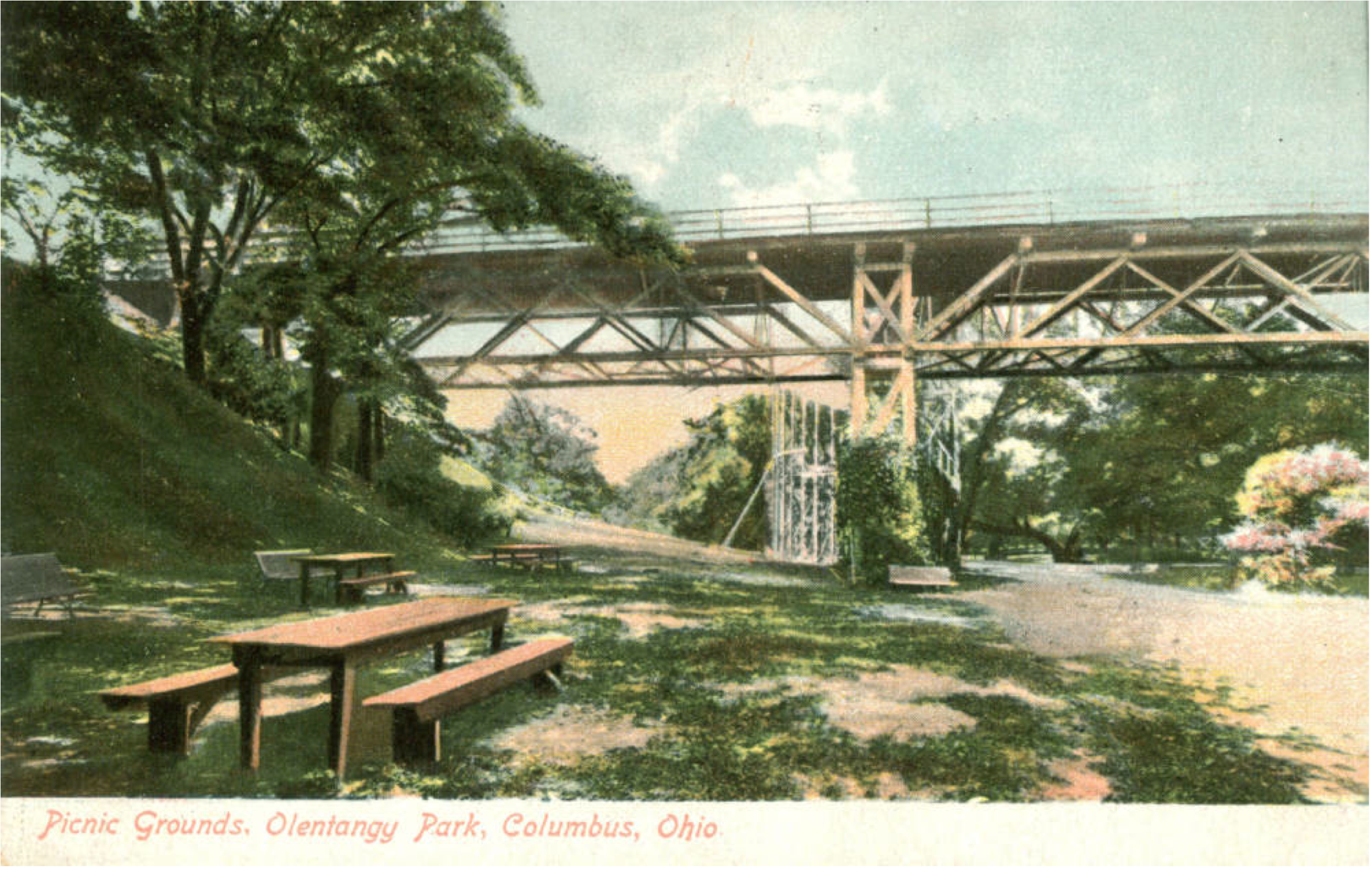
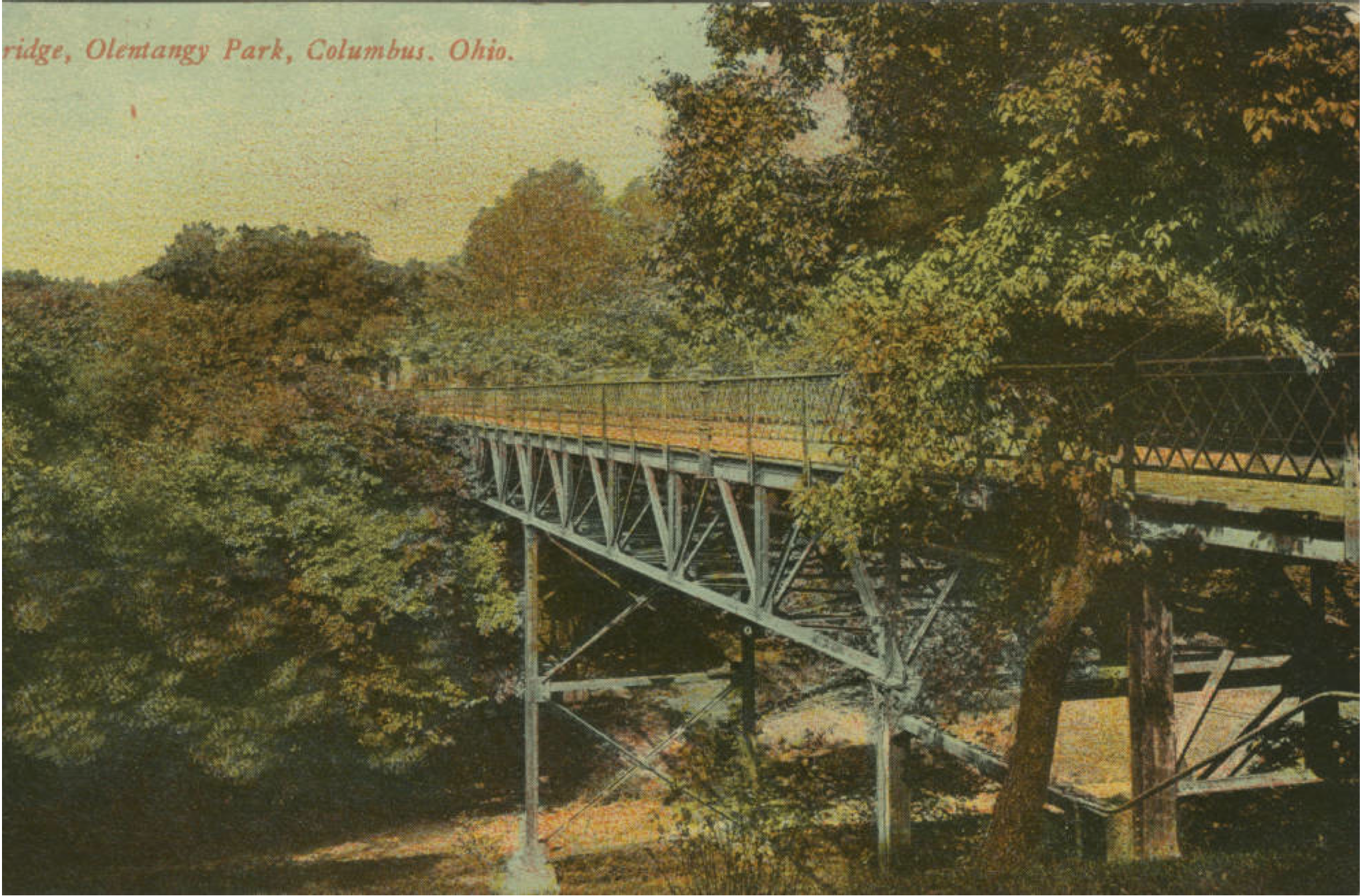
Postcards are from http://www.columbusmemory.org
Until next time!


That would have been a relatively new bridge at the time. I used to attend Old Cemetery Club with these two female doctors I lived with way back in the late fifties early sixties. This area at High Street was (per our lecture) the demarcation between Amerindian Land and the end of Columbus, and a well know dumping site for all and sundry including bodies, especially after 1803, whenOhio became a state. . Clintonville was supposedly renamed during the 1830s, upon the successful conclusion of the Indian Wars here in Ohio, and this area cleaned up, and a lot of its history rewritten. All the parkland there was once Amerindian land, that no one was allowed to settle. Young Indians, from a settlement near what is now Josephinum, would conducts raids on Columbus coming in via a trail by the Olentangy River, now the bike trail.
To give another example of this kind of historic whitewashing, our community meeting was held at Orton Memorial Library last night and we toured the building. There is a bas relief of the founder, who had prominent flying eyebrows. No other pictures feature this. I looked on the Internet and could not find another picture to match this. This meant he was not Anglo Saxon, but of Pictish or Scottish descent, one of The Orange Men. The building at Indianola was originally a small church with a lot of land and the cemetery was out aways, so carts and animals could be kept closer to the church.
________________________________